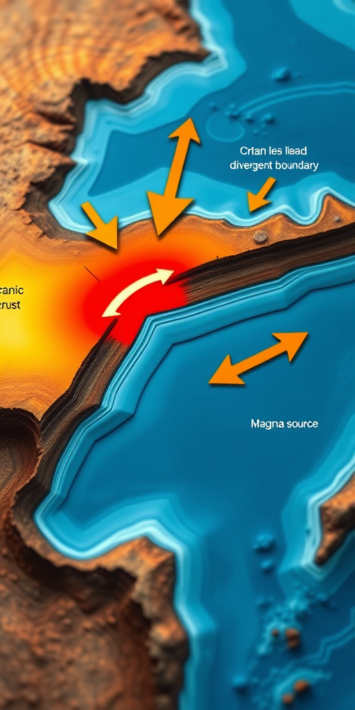
Generate a high-resolution illustration of tectonic plate movement with arrows indicating direction over oceanic crust and a red magma source at a divergent boundary, using a macro lens, f/8 aperture, 1/125 sec shutter speed, and 24mm focal length, with vibrant colors and clear labels.
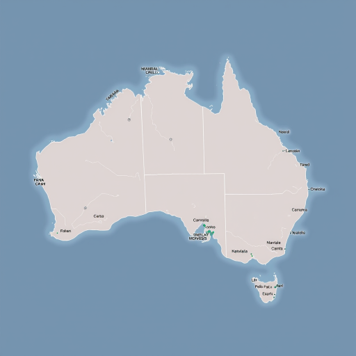
Create a high-quality vector map of Australia showing its states and territories with clear boundary lines, using a top-down view, in a digital illustration style, with a resolution of 300 DPI for print quality.
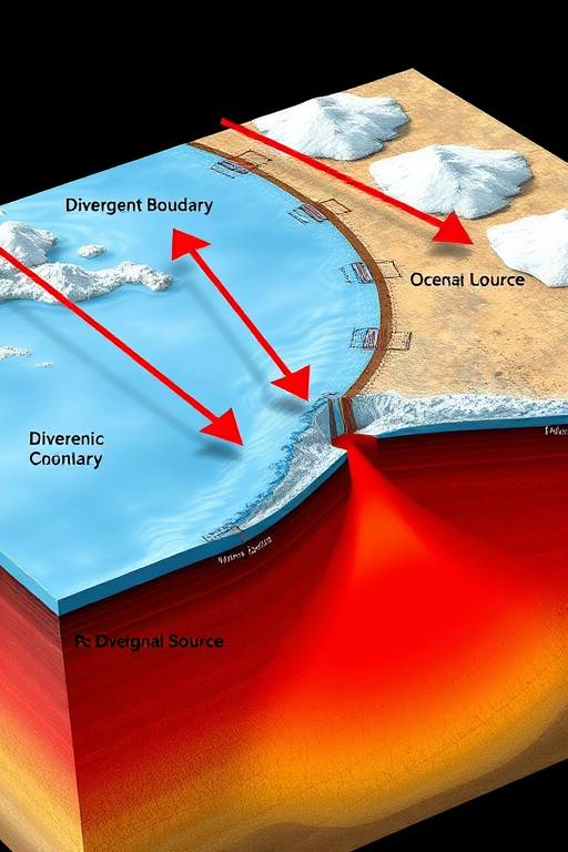
Generate a high-resolution illustration of tectonic plate movement with arrows indicating direction over oceanic crust and a red magma source at a divergent boundary, using a macro lens, f/8 aperture, 1/125 sec shutter speed, and 24mm focal length, with vibrant colors and clear labels.